Remote sensing of river stage and discharge
River stage and discharge are essential to water resources planning and management,
flood forecasting and prevention, understanding of the global water cycle and others.
The traditional remote sensing method of river stage and discharge requires pre-constructed inundated area - river
stage relationship (IARSR) curves and rive stage-discharge rating (SDR) curves,
but due to lack of sufficient data or observation time is not synchronized,
causing these curves are often difficult to accurately construct.
This collaborative research aims to develop and validate a method to measure river discharge from
space using remotely sensed imagery and LiDAR data.
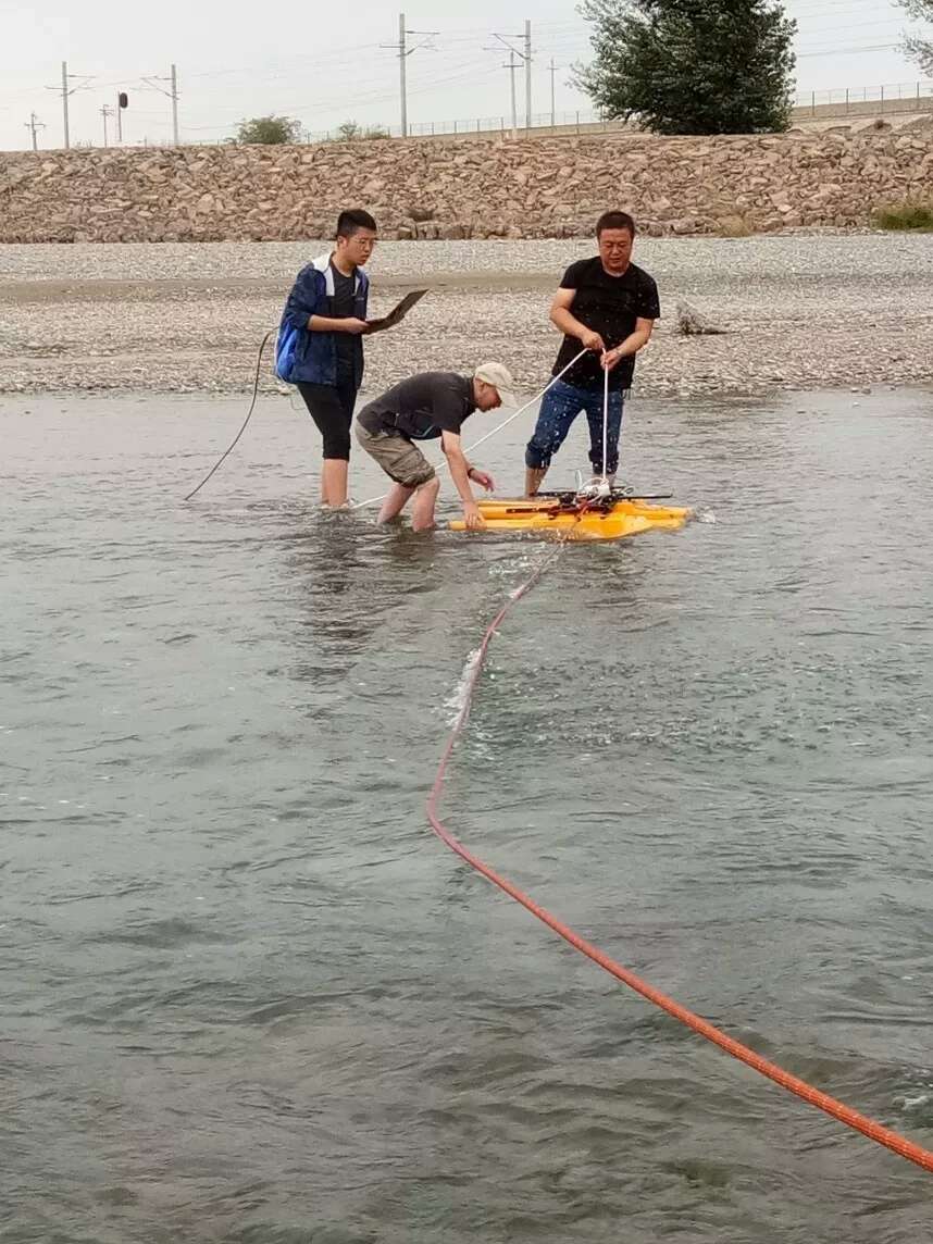
The study area will be selected near eight stream gauging stations in the middle reach of the Heihe River in Zhangye in Gansu Province of China.
The research goals include (1) estimating river inundation area from multi-source remotely sensed imagery;
(2) constructing fine resolution digital terrain model of each river cross section using ground-based LiDAR data;
(3) constructing IARSR and SDR curves using the method developed in this study.
One unique aspect of this study is that no ground-based discharge measurements are needed.
Therefore the method developed in this research can be used in any river cross sections,
especially in un-gauged or poorly gauged river basins. The proposed method is also applicable
to microwave remotely sensed imagery and altimeter water level data for measuring river discharge.
This research will improve our ability of remote sensing of river discharge,
and provide data for water resources management, global water cycle study, and flood forecasting and prevention.
-
Pan F., Wang C., and Xi X., 2016: Constructing river stage-discharge rating curves using remotely
sensed river cross-sectional inundation areas and river bathymetry. Journal of Hydrology, 540, 670-687.
(Link)
- Pan F., 2013: Remote sensing of river stage and discharge, SPIE Newsroom, DOI: 10.1117/2.1201212.004611. (Invited Paper) (Link)
- Pan F. and Nichols J.,
Remote sensing of river stage using the cross sectional inundation area - river stage relationship (IARSR) constructed
from digital elevation model data. Hydrological Processes, 27, 3596-3606, 2013.
(Link)
|